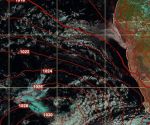
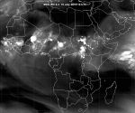
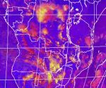
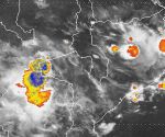
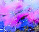
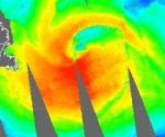
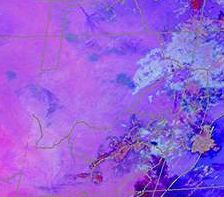
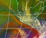
Below you can access nine exercises, which teach forecasters how to identify various synoptic scale and mesoscale systems and features and their characteristics in satellite imagery and products.
These exercises are prepared in partnership with ASMET team, and the cases are representative for African regions.
Les Exercices en langue française
For each one of the these topics, students work through a series of guided exercises on their own. These are supplemented by group discussions of related questions. The concluding activity for the course enables participants to demonstrate what they have learned by finding a case and applying the relevant questions to it.
Note that the cases only address system/feature identification in satellite imagery and do not cover forecasting.
Disclaimer:
Please be aware that the exercises are been reviewed and may contain minor inconsistencies.
You can use these exercises within your meteorology courses, either online or as a part of classroom instruction.If you want to use the exercises locally, you can download each exercise as a zipped file.
