Identify the Anticyclone
This case study takes place in March, a time when conditions are conducive for the development of anticyclones in and around Africa.
To begin, view the airmass RGB and IR 10.8 animations from 19 March 2016 1800 UTC to 20 March 2016 1800 UTC. Then answer the question below.
Question
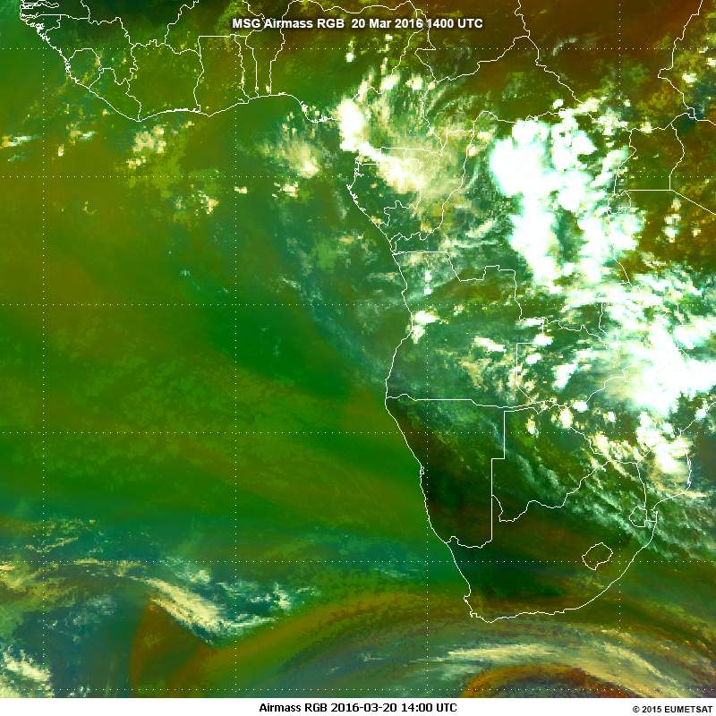
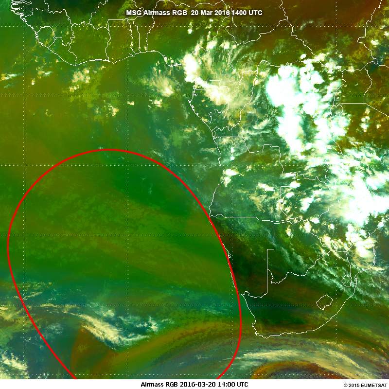
The animations show an anticyclone. Use the drawing tool to outline it on the airmass RGB image below.
| Tool: | Tool Size: | Color: |
|---|---|---|
In the airmass RGB animation, the wide region with several brown/green areas is a dry air mass that indicates a massive anticyclone system over the southern Atlantic ocean. This quasi-stationary high pressure zone is commonly known as the St Helena high. Its centre may move further south during the spring season. The light green areas are low-level clouds that suggest a stable airmass over the ocean. In the animation, these low-level clouds move very slowly in an anticyclonic direction. The upper-level clouds appear to move faster and in the opposite direction to the lower surface flow.
The enhanced IR animation shows the low-level clouds fairly well as grey or dark grey clouds moving anticyclonically (counterclockwise) over southern Atlantic Ocean. The upper-level clouds move faster and in the opposite direction to the lower surface flow. The imagery shows that the high convective cloud tops are absent over the ocean.