
About the Lesson
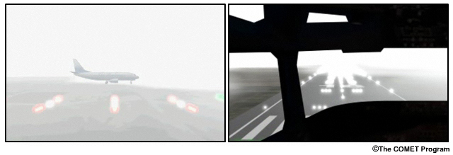
If you're an aviation forecaster, you've undoubtedly dealt with fog and low clouds, and know the impacts that the associated low ceilings and visibility can have on aviation operations - from causing flight delays and passenger discomfort to even closing airports. You also know how challenging it can be to forecast fog and low clouds. Numerical models have difficulty predicting features like these that often form on a local scale. During the daytime, low cloud and fog can usually be seen in visible imagery, while at night, they can only be identified with multispectral infrared products. Differentiating between low cloud and fog is not possible with satellite imagery alone because the sensors cannot see below cloud top.
This lesson aims to improve aviation forecasts of fog in the African airspace by teaching forecasters to make more accurate forecasts using satellite imagery, numerical weather prediction, and other available data. We will present a process for diagnosing and forecasting fog, and apply it to a case over the Nairobi, Kenya region on 20 July 2012. You will assume the role of aviation forecaster on the night shift at Nairobi's Jomo Kenyatta International Airport (JKIA). You will analyze various products to determine whether the current Terminal Aerodome Forecast (TAF) is valid or needs to be amended and then follow conditions to see what happened.
The lesson is intended for aviation forecasters, general weather forecasters interested in aviation meteorology, pilots, and meteorological forecasting instructors and students (WMO). By the end of the lesson, learners should be able to:
- Describe the impacts of fog and reduced visibliities on aviation planning and operations
- Diagnose the development, presence, and evolution of radiative fog as required in aviation forecast and warning preparation using satellite imagery and other tools
- Develop skills in writing and amending a TAF for the development of radiation fog that meet customers needs and follow International Civil Aviation Organization (ICAO) standards
The following prerequisites will enable learners to get the most out of the lesson:
- Basic Instruction Package in Meteorology (BIP-M, available at http://www.wmo.int/pages/prog/dra/etrp/documents/1083_Manual_on_ETS_en_rev.pdf
- Basic ability to interpret satellite images, RGB products, and NWP products for forecasting fog
- Basic understanding of fog development
- Ability to interpret METAR and TAF codes and tephigrams
- Understanding of the steps in the TAF-writing process
Some of this information is found in the following COMET lessons, which learners are encouraged to take before starting the case study:
- Writing TAFs for Ceilings and Visibilities, Africa Edition lesson (https://www.meted.ucar.edu/training_module.php?id=1012), which outlines the TAF-writing process and applies it to a low cloud/fog case over Cape Town, South Africa
- Fog: Its Processes and Impacts on Aviation and Aviation Forecasting (https://www.meted.ucar.edu/training_module.php?id=795), which provides extensive background information on fog formation and its impacts on aviation forecasting
This lesson is one of three aviation weather case studies developed by the ASMET project to improve aviation forecasting in Africa. The other two lessons focus on convection and clear air turbulence, and are accessible via the ASMET website (http://www.meted.ucar.edu/communities/asmet/). The ASMET case studies also support COMET's Review of Aeronautical Meteorology Africa online learning curriculum, which provides training that supports the WMO/ICAO competencies for Aeronautical Meteorological Forecasters.
Finally, note the Aviation Resources and map of Kenya links in the Navigation Bar on the left. They are available throughout the lesson for you to access. The Aviation Resources include the flight categories, guidelines for using "BECMG" and "TEMPO" groups, conditional groups, and cloud codes.