The other popular orbit type for remote sensing is
near-polar. The name is fairly self-explanatory; these
are orbits with high inclination angles with an sub-orbital track that
almost goes across the poles. Their altitudes are in
the range 400-1000 km, which is considerably lower than the 35,800 km
of a geostationary satellite. This lower altitude means that the
period of these satellites is typically 90-120 minutes. The figure below
shows the path of a typical near-polar orbit.
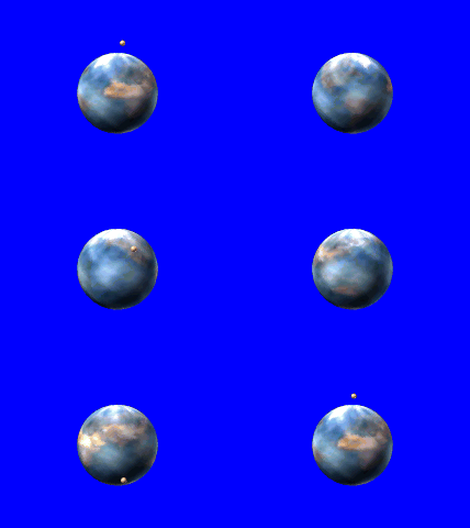
Figure 1: A near-polar satellite orbit
 |
|
The advantages
offered by these orbits include:
- almost complete global coverage, as the Earth
rotates on its axis under the orbit. Unlike geostationary spacecraft,
near-polar orbiters can provide images of the poles and high latitude
regions;
- good surface resolution, since the spacecraft
are at low altitudes they can provide considerable surface detail
(for example, SPOT can image to 10 metre resolution).
- orbits can be carefully chosen to ensure that
variations of solar illumination angle are compensated for (sun-synchronous
orbits).
There are, however, some disadvantages:
- the repeat cycle of the orbit can be long, meaning,
for example that the interval between direct fly-over of a region
by the spacecraft can be quite long and so monitoring of very
short time-scale events is not possible;
- data can only be received when the satellite
is above the horizon of the receiving station and this is only
for a short time, so images from other regions must be obtained
via a network of receiving stations or stored on-board.
There are many examples of near-polar spacecraft,
such as Landsat, SPOT, and the NOAA series. The table below presents
a brief summary of the orbital parameters of each of these.
|
Satellite | Height | Eccentricity | Inclination Angle
|
Landsat | 705 km | 0 | 98.2 |
NOAA | 857 km | 0.01 | 99.0 |
SPOT | 822 km | 0 | 98.7 |
ERS-1 | 777 km | 0 | 98.5 |
Meteosat | 35797 km | 0 | 0 |
Last updated and validated 28/04/99
Copyright © 1997 - National Learning Network for Remote Sensing. All rights reserved.